Okavango Delta
About the Okavango Delta
The Okavango Delta(or Okavango Grassland; formerly spelled “Okovango” or “Okovanggo”) in Botswana is a swampy inland delta formed where the Okavango River reaches a tectonic trough at an altitude of 930–1,000 m[3] in the central part of the endorheic basin of the Kalahari. All the water reaching the delta is ultimately evaporated and transpired and does not flow into any sea or ocean. Each year, about 11 cubic kilometres (2.6 cu mi) of water spreads over the 6,000–15,000 km2 (2,300–5,800 sq mi) area. Some flood waters drain into Lake Ngami. The area was once part of Lake Makgadikgadi, an ancient lake that had mostly dried up by the early Holocene.
The Moremi Game Reserve, a national park, is on the eastern side of the delta. The delta was named as one of the Seven Natural Wonders of Africa, which were officially declared on 11 February 2013 in Arusha, Tanzania. On 22 June 2014, the Okavango Delta became the 1000th site to be officially inscribed on the UNESCO World Heritage List.
Floods
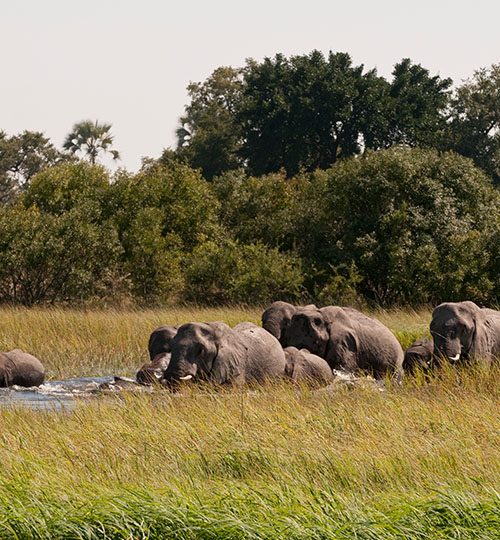
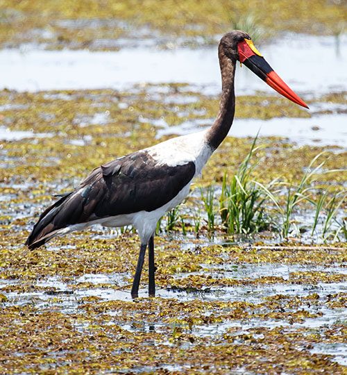
The Okavango is produced by seasonal flooding. The Okavango River drains the summer (January–February) rainfall from the Angola highlands and the surge flows 1,200 km (750 mi) in around one month. The waters then spread over the 250 by 150 km (155 by 93 mi) area of the delta over the next four months (March–June). The high temperature of the delta causes rapid transpiration and evaporation, resulting in 3 cycles of rising and falling water level[9] that was not fully understood until the early 20th century. The flood peaks between June and August, during Botswana’s dry winter months, when the delta swells to three times its permanent size, attracting animals from kilometres around and creating one of Africa’s greatest concentrations of wildlife.
The delta is very flat, with less than 2 m (6 ft 7 in) variation in height across its 15,000 km2 (5,800 sq mi), while the water drops about 60 m from Mohembo to Maun.